Local

Wednesday It’s All About Snow then Bitter Cold Thursday Night


car, snow zone, ticket, Park Forest Police, PFPD
Police remind residents to avoid a $25 ticket and move their vehicles from designated snow routes when there will be at least 2 inches of snow. (Photo: PFPD)

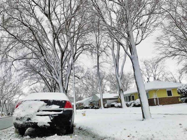
Park Forest, IL-(ENEWSPF)- Look for snow in Park Forest Wednesday afternoon through Thursday at noon. Right now, the National Weather Service has us looking at approximately 3-5 inches of new snowfall. Schools may be delayed Thursday but the call to cancel schools, if that happens, likely will not come until the pre-dawn hours on the penultimate day of the week.

The forecast for Wednesday shows snow, mainly after 1 pm, with a high near 35. The wind will blow south at 5 to 15 mph.

The chance of precipitation is 100%. New snow accumulation of less than one inch is possible.

Wednesday night calls for more snow with a low around 25. The wind will continue blowing to the south at 5 to 10 mph becoming a north northwest wind in the evening.

Winds could gust as high as 15 mph.

The chance of precipitation is 100%. New snow accumulation of 1 to 3 inches is possible.

Thursday temperatures will plunge. Snow will fall mainly before noon with a high near 27.

The wind chill values Thursday will be as low as 1. Conditions will be blustery with a northwest wind 10 to 20 mph, gusts as high as 30 mph. The chance of precipitation is 80%. New snow accumulation of around an inch is possible.

Thursday night comes the deep freeze when it will be mostly cloudy, with a low around -2. A northwest wind will blow 10 to 15 mph, with gusts as high as 20 mph.


ARCHIVES