


New, real-time mapping enhances operators’ awareness of wildfire incidents
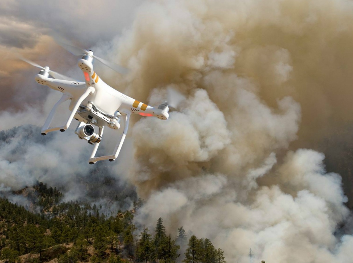
A drone flying over a wildfire. Photo by the Bureau of Land Management.
WASHINGTON, D.C. –(ENEWSPF)–July 25, 2016. To address the growing problem of unmanned aircraft systems (UAS) impeding wildland firefighting efforts, the U.S. Department of the Interior and industry partners activated a prototype warning system that provides real-time alerts and geofencing alarms to prevent drone pilots from interfering with firefighting operations.

“This pilot project…


